Wroxall Park Illustrated Estate Map
Watercolour map illustration for a historic English estate website
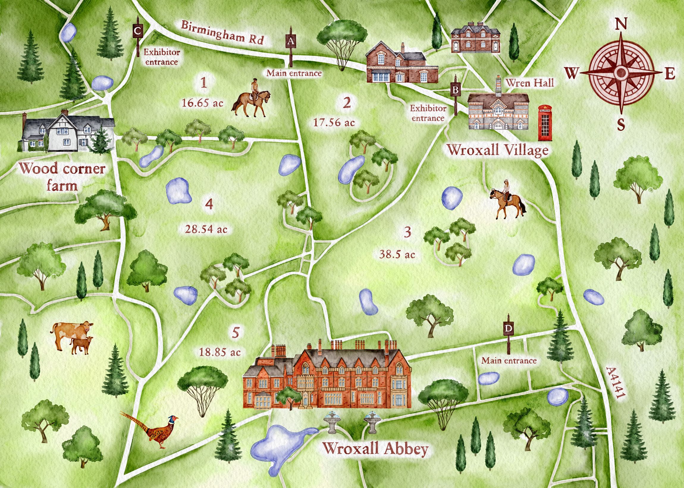
I created a custom watercolour illustrated map of Wroxall Park for use on the official estate website. The map presents a clear visual overview of the park and surrounding village, designed to support visitor orientation and navigation.
The illustration highlights key routes, entrances, landscape features, and architectural landmarks across the estate, including Wroxall Abbey, integrated as part of the overall site context. A hand-painted watercolour style was combined with clear structure to ensure the map is both visually engaging and easy to read in a digital environment.
Developed specifically for web use, the artwork balances functionality with an illustrative approach, inviting viewers to experience the atmosphere of the estate and explore its landscape through illustration.

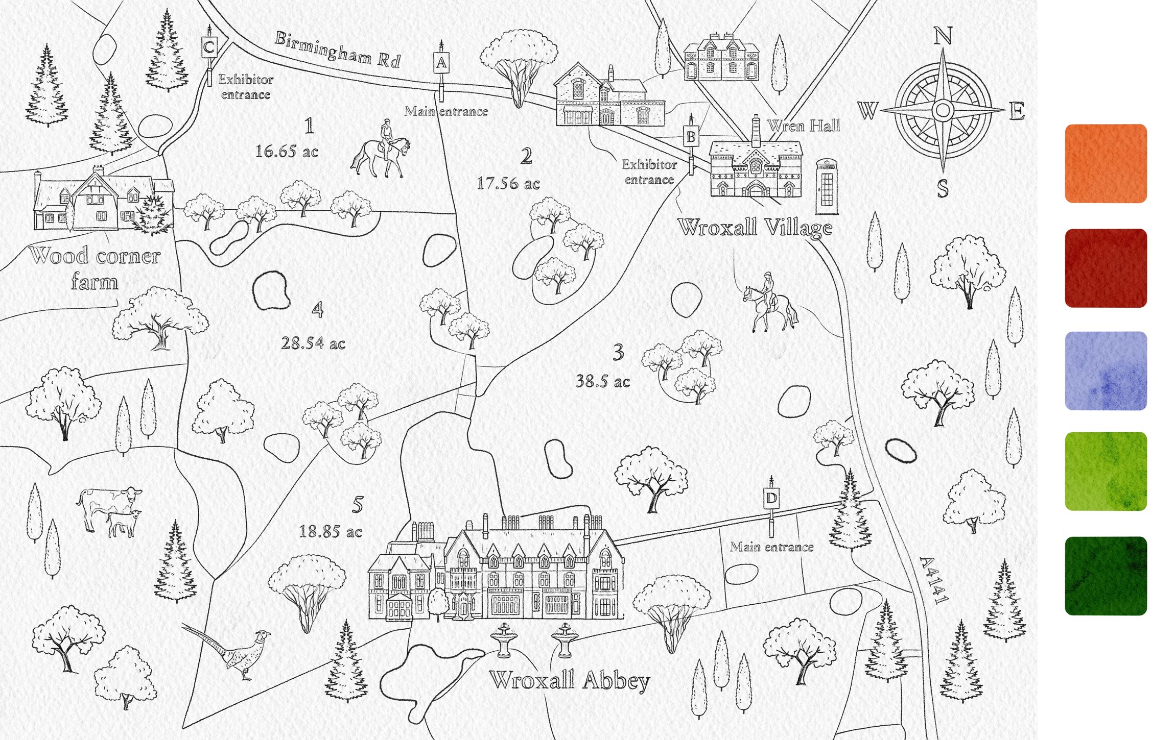
Sketch & Colour Palette
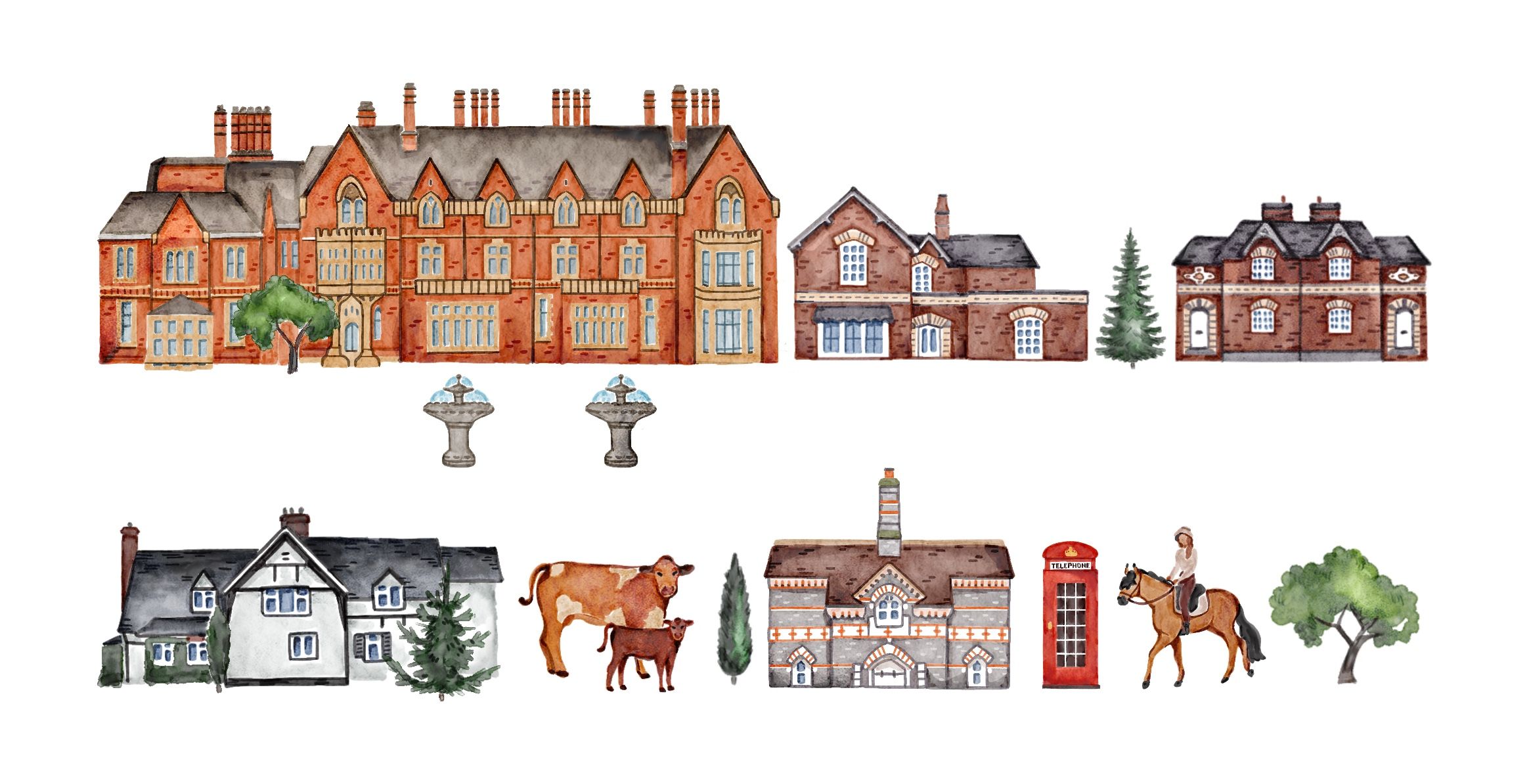
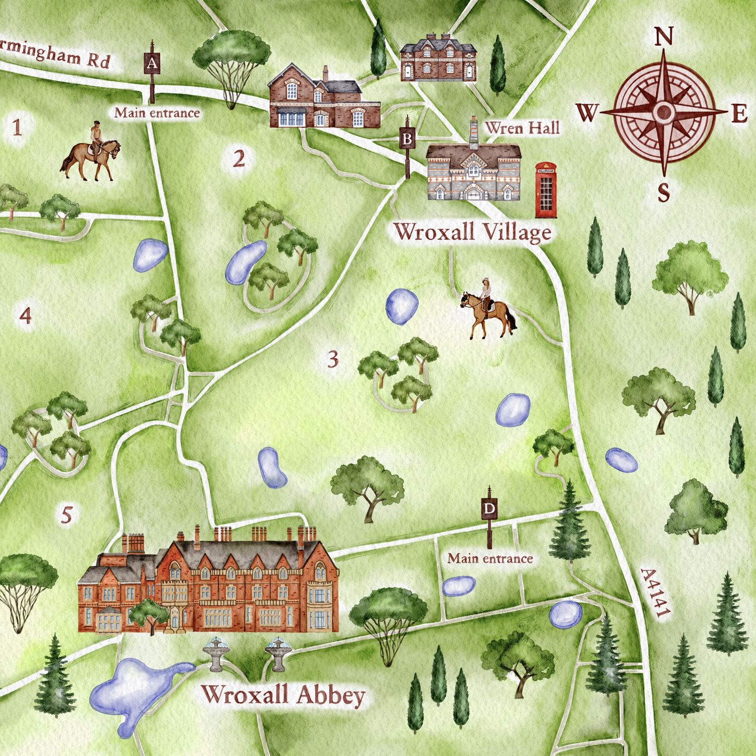
Details

Do you have a project? Let’s work together!
Tell me about your idea — I’ll be happy to help you bring it to life through illustration.
